The new industry approach in UAV services
Streamline operations, elevate integration, adopt inertial navigation systems and maximize automation. All on a single platform.


Who we are
Solutions for:
Navigate with Confidence—No GPS Required
Our visual odometry solution lets your UAVs—whether drones or fixed-wing aircraft—navigate accurately without relying on GPS. It uses advanced camera technology to track movement and position, so your UAVs can fly safely and precisely in any environment. Whether you're flying in complex terrains or GPS-denied areas, our solution ensures your UAVs stay on course.
Precision Targeting and Strike—Every Time
Our advanced targeting and strike algorithms ensure your UAVs can identify and engage targets with pinpoint accuracy. Whether you're operating drones or fixed-wing aircraft, our technology delivers reliable performance, even in challenging environments. With real-time data processing and smart decision-making, your UAVs can execute precise strikes with confidence, minimizing collateral damage and maximizing mission success.
Virtual Testing Environment for UAV
Simulation of the area surrounding to flight test a UAV’s operation and navigation in the location without the UAV’s actually flying in the airspace.

Our value
Virtual Simulation Testing
Realistic Testing in Any Environment Our virtual simulation platform allows you to rigorously test your UAV operations in a wide range of weather conditions, from clear skies to severe storms. Simulate real-world scenarios to ensure your drone systems are prepared for any challenge.
Satellite-Based Terrain Mapping
Leverage the power of satellite maps to create accurate, terrain-specific simulations. Test your UAVs in realistic environments, complete with the geographical and environmental factors they’ll encounter in actual missions.
Comprehensive Scenario Planning
Customize simulations to match specific mission requirements, whether you're navigating complex urban landscapes or remote wilderness areas. Our platform ensures that your UAVs are ready to perform reliably, regardless of the operational conditions.
What we offer
Core technologies
Autonomous Navigation Systems
Advanced algorithms and sensors ensure precise control and stabilization, while NoGPS inertial navigation systems (INS) and AI-driven pathfinding enable UAVs to navigate complex environments with minimal human intervention.
Sensor and Payload Integration
Electro-Optical/Infrared (EO/IR) Sensors: For real-time imaging and targeting in various environmental conditions.
Artificial Intelligence and Machine Learning
Autonomous Target Recognition via AI-driven systems for identifying and classifying targets based on sensor data.
Data Processing and Analytics
Onboard Data Processing: Real-time analysis of sensor data for immediate decision-making and action. Edge Computing: Reducing the need for constant communication with ground stations by processing data onboard.
Cybersecurity
Hardened Systems: Protection against cyber attacks, ensuring the integrity and availability of UAV operations.
Modular Design
Interchangeable Payloads: Ability to swap out data sources and system algorithms based on mission requirements.
Why Choose Us
Customizable Solutions for Every UAVs Operation
Our platform adapts to any user, from enterprise operations, drone manufacturers, and developers to government, providing streamlined workflows and tailored solutions for every unique challenge.
Versatile Solutions for a Wide Range of Use Cases
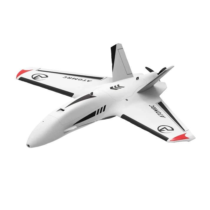
DroneControl's solution combines multiple approaches to visual odometry navigation, tracking, loitering, and targeting, suitable for various types of UAVs, from quadcopters to fixed-wing aircraft.
Seamless Integration and Expert Support
Maximize the potential of our solution with our comprehensive training and ongoing support. Our dedicated team provides the expertise you need, from initial setup to advanced mission planning.

Do you want to learn more about how our solutions can apply to your case?
Send us a message, and we will get back to you!
